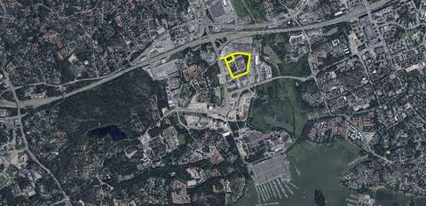
Streets in the Rusthollinrinne town plan area
Streets and trafficEspoonlahtiTwo new access streets, Malleniuksenkatu and Malleniuksenkuja, are planned to support new land use solutions in the area. Malleniuksenkatu will join Rusthollarinkatu in the north at the traffic-light-controlled intersection and Luoteisrinne in the west. Based on the detailed plan change, the street areas of the following streets will be widened: Rusthollarinkatu, Matroonankatu, Luoteisrinne and Finnoonkartanonkatu. The necessary street arrangements for land use and pedestrian and cycling arrangements have been planned. The northern end of Luoteisrinne will be closed to vehicle traffic. The street’s northern end is to have a pedestrian and bicycle route separated from the rest of the street network leading to Rusthollarinkatu.
Phase
Legally valid
Draft street plans will be available for viewing and comments online on the Ota Kantaa page. The draft plans are available from 31/08/2022 and can be commented on until 14/09/2022.
The street and park plans will be available for public review from 30 January to 13 February 2023.
Contact information
Customer Service of the Urban Environment
+358 9 81625100Tekniikantie 15, 02150 EspooPhone service: Mon–Fri 10:00–15:30
Otaniemi Service Point: Mon–Fri 8:00–15:30
Urban Environment Customer Service can advise you on matters, such as
✔ streets and traffic
✔ parking control
✔ parks, green spaces and forests
✔ land use planning
✔ construction and land use permits
Give feedback: Link to survey(external link, opens in a new window)